
Files
Download
Download Full Text (963 KB)
Description
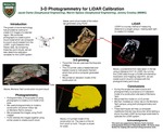
The growth of drone technology has provided an avenue to create 3-D images of a desired region. We combined photographs to create a point cloud model which we compared to a point cloud created from the LiDAR (Light Detection And Radar) data. By comparing these two point clouds, we can later determine calibration variables for the LiDAR system.
Publication Date
Summer 2018
Recommended Citation
Clarke, Jacob; Speece, Marvin; and Crowley, Jeremy, "3-D Photogrammetry for LiDAR Calibration" (2018). 2018 Undergraduate Research. 8.
https://digitalcommons.mtech.edu/urp_aug_2018/8